
SLS-203 · UUV
Sounder
Survey & bathymetry UUV. The fleet's surveyor. Sounder maps seafloor ahead of every operation — charting approaches, finding hazards, and building the prior maps the rest of the fleet plans against.
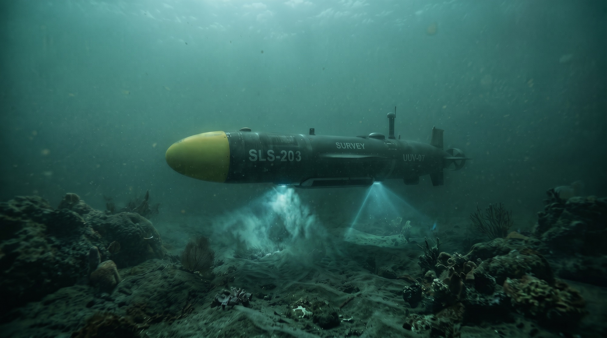
Sounder pairs a multibeam echosounder with side-scan sonar for high-resolution bathymetry, adding sub-bottom profiling and water-column logging on the same sortie. Coverage planning runs lawn-mower and adaptive patterns over prior charts.
Every survey product feeds directly into the SLS prior-map library, which the Helmsman planners use for terrain-correlated, GNSS-denied navigation across the whole fleet. Where others see empty water, our vehicles navigate by the bottom Sounder has already mapped.
In sustainment and active operational use, currently supporting the Slackwater trial series.